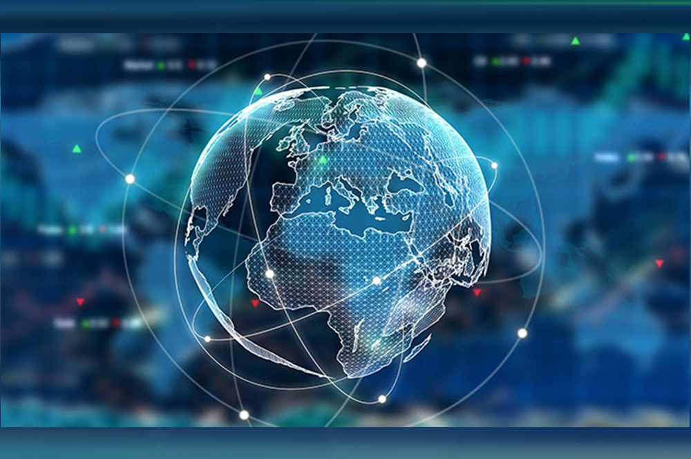
Use of geospatial AI(Artificial Intelligence) for business development
When it comes to the relationship between business development and technological innovation, we can generally separate two schools of thought. There are those who believe that technological progress is what propels businesses forward. And on the other hand, there are those who are certain that business investments are what makes innovations like contemporary geospatial AI possible. As with most opposing opinions – the truth is somewhere in between.
Or, rather, the relations between cutting-edge tech and emerging business sectors are a never-ending circle; with business financing the research and development that enables the appearance of new tech, which in turn leads to new business opportunities and sectors. Considering this interesting trend, we’ll have a look at how new advancements like geospatial AI have affected the world of business!
Basics of Geospatial Data
For the past half-century, every entity from major corporations to major military forces have used geographical information systems – also referred to as GIS. The reasons for that are quite obvious – the geospatial and geographic data that can be gathered using GIS can be a major boon in industries that are asset-intensive, such as the public sector, transportation or high-value energy sectors. In fact, the GIS is something of a valuable business sector unto itself; there are even startups launching small satellites for this very purpose these days.
What we’re describing here is basically the influence of geographic data on the business world. But, the abovementioned trend has been constant since the first satellites from the early 1960s. However, now we can spot a major revolution, one that promises to make a paradigm shift in many industries by way of new geographic data – or rather, new ways of processing it.
Geospatial AI
One doesn’t need to be a science aficionado to realize just how much of a change the rise of artificial intelligence has brought to the world of tech-related business. And just like every important technology, artificial intelligence has basically reached an intersection with all industries and related technologies. The world of geospatial analysis is a very good example. These days, geospatial AI represents one of the most interesting emerging technologies. Both governments and private sector enterprises are making use of this highly efficient form of data analysis.
There are three large trends that have brought about the advent of geospatial AI: a larger amount of geospatial data from more precise remote sensing and satellites, AI advancements like machine learning, and the exponential rise of computational power.
Geospatial Big Data
We could argue that geospatial analysis was always a form of Big Data. After all, most data related to Earth observation is comprised of imagery in incredibly high resolutions and time-related data that comes in incredibly large sizes.
But the ease of Big Data processing is what has changed with the AI advancements. For one, obtaining geospatial data and using it in any meaningful way was pretty difficult. In the past, this is something that would mostly be done by government agencies, and industries that were capital-intensive, like gas and oil.
However, in 2019 the landscape of geospatial data analysis has completely changed. With the related computations being easier than ever to perform, you’d be surprised at what sectors are making use of geospatial information. For example, even companies like frontech.ca that specialize in product lifecycle management solutions have begun making use of geospatial data, allowing for the utmost efficiency in business planning and development. There is more actionable intelligence to be gleaned from geospatial data than ever before – especially in business terms.
Artificial Intelligence
Obviously, the usage of emerging AI tech is all the talk in business circles of basically every sector. The number of practical business adoptions of AI is rapidly growing; there is seldom a corporation not looking to employ and integrate AI methodologies in at least some of their business practices. A recent business survey on this yielded interesting results – around 35% of respondents believe that AI is already crucial for business development.
Naturally, hulking Terminator-esque robots are what the average layman associates with the phrase ‘artificial intelligence’. But in reality, we’re talking about deep learning and machine learning – as AI-powered tech capable of extremely efficient data analysis. And for geospatial data, such techniques are incredibly important. Being able to process huge amounts of satellite imagery with a stupendous amount of details is something only such new tech can achieve.
Future of Geospatial AI
These days, plenty of commercial and governmental organizations are already making use of deep learning tech. In tandem with detail-heavy geospatial satellite data, the full potential of this kind of information is not something laying in the near future, but something that is already here. Recently, Canadian housing and mortgage corporations have talked about how they use satellite data and deep learning to track the development of housing markets like never before. This is especially important when it comes to indigenous and remote, far-flung communities places that few commercial entities would explore for business opportunities otherwise.
And as geospatial AI comes into its maturity, we’ll definitely notice an uptick in AI workflow management systems; cost-efficiency and overall performance of all sectors will be improved by such technologies.