How geospatial imaging can help solar developers
Solar development is an incredibly fast-growing industry. The solar industry has seen 50% growth year-over-year during the last decade, with an extraordinary number of new developments being built all the time. But it’s also an industry that depends precision and accuracy. Geospatial imaging can help solar developers improve their efficiency, while also reducing their upkeep-related costs.
Complete Surveys Safely and Quickly
Before any large-scale project can begin, a survey needs to be completed. In the past, these surveys needed to be done either manually on foot, or by plane or helicopter. These surveys could be costly or take a long time. And that meant a lot of downtime at the beginning of the project, as the surveys had to be completed to move forward.
Today, drones can be used to cover large areas quickly — which is especially important for solar development. Geospatial information can be captured efficiently through the use of laser scanning technology, which is in turn used to create more accurate surveys faster. With increased survey accuracy, the potential for reworks is also reduced.
Accurate surveys lead to better planning. Better planning leads to reduced costs throughout the construction process. And the ability to take these scans without potentially putting a human operator at risk cannot be understated.
Increase Energy Production through Terrain Simulations
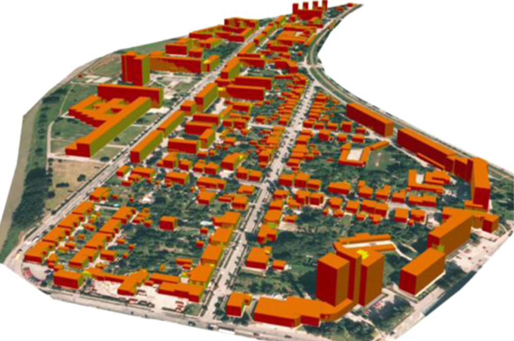
Creating complete 3D models of terrain is becoming an essential part of the development process. With 3D models of terrain, projects can better approximate the changes that are going to need to be made, which improves construction planning and costing. Within simulations, it’s possible to test the positioning of solar panels over time. Weather effects and seasons can be simulated to determine the most effective placement overall.
By positioning your solar panels more effectively, you’ll be able to make better use of your build site. Solar panels need to be as effective as possible to generate the most energy, and the more thought and research that’s put into the placement, the better. Solar developers can use algorithms to better mine geographic data for the most optimal configurations.
Over time, more data will be collected regarding proper solar placement, and this data can then be rolled into new developments for even more accurate simulations. In this way, 3D models of terrain and geospatial imaging can be used to further the industry of solar energy production as a whole.
Streamline and Improve Upon Solar Panel Maintenance
Once solar panels have been installed, they can also be maintained through geospatial imaging. Geospatial imaging can be used to detect issues with large solar panel installations. When drones combine imaging with sensors, they can detect even things that aren’t detectable by the human eye, such as heat. This can be a warning that a solar panel needs to be repaired. The drone can then report back its exact location and the panel that appears to be malfunctioning.
Solar panels need to be regularly maintained in order to remain effective. Panels can overheat due to uneven light distribution, and they can be impacted by things like a buildup of debris. After storms and other potentially dangerous events, solar panels may need to be inspected. Without aerial imaging technology, it’s necessary to inspect these panels individually on foot. With solar imaging, the entire setup can be inspected more frequently and more thoroughly.
The Next Step for Solar Development
Solar energy production is the way of the future, but it has to be made efficient, affordable, and reliable for it to continue to grow. While great strides have been made in solar panel technology itself, there is still some improvement that can be made in the development and maintenance of solar operations.
Many solar operations are cropping up of various sizes. Farmers are installing their own small-scale solar installations, and new solar installation companies are buying huge tracts of land to create energy grids all their own.
Geospatial imaging is going to play a critical role in this solar power growth. Through geospatial imaging, solar power companies are going to be able to bring up new solar installations more quickly, and manage their solar installations more effectively. Solar installations themselves are going to be more reliable and efficient through the virtue of 3D modeling and simulation.