Role of 4IR and Geospatial in making cities smarter
Cities are increasingly seen not just as the engines of innovation and economic growth but also as the epicenter of a plethora of social-environmental stress for our planet. Today, cities in developing countries are overburdened, overcrowded and are increasingly becoming hubs of chaos. City administrations are resorting to a number of innovative approaches to address such diverse issues by leveraging technologies. The evolution of the ‘Smart City’ concept therefore, is a journey rather than a destination and in this journey technological innovations have to take center stage to solve the social and civic problems that arise with mass urbanization. It is critical for city administrators to create a platform for community engagement to drive innovation in order to increase the quality of life and make our planet sustainable.
4IR and Geospatial in making cities smarter
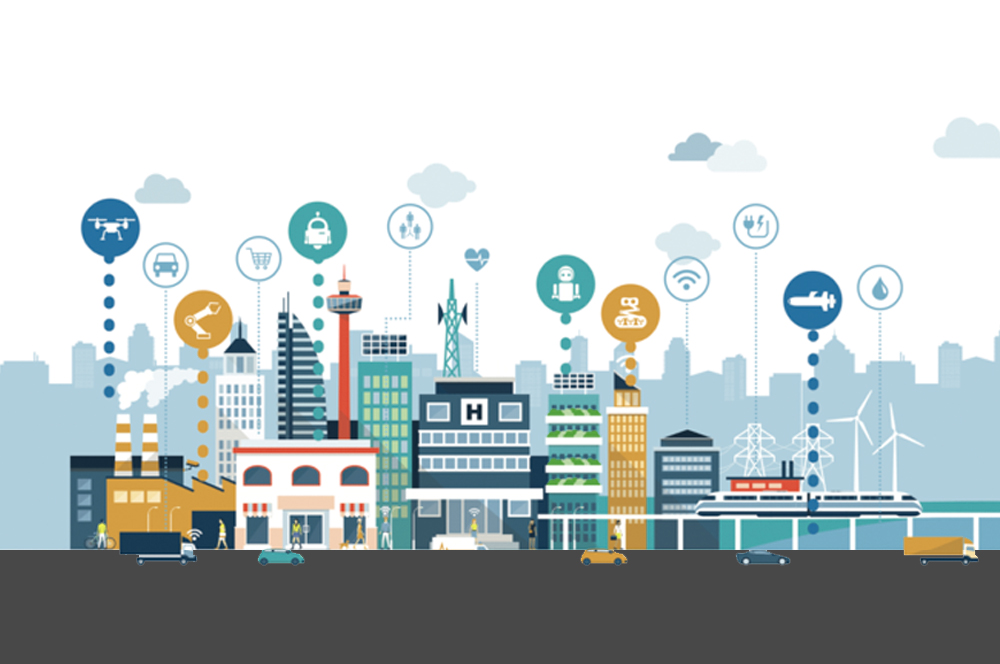
Smart cities world over are becoming webs of Information and Communication Technologies (ICT), integrating the Fourth Industrial Revolution (4IR) technologies like Location information, Internet of Things, Artificial Intelligence, sensors, etc. The most important part of this ICT structure is an intelligent grid of connected devices that transmit data through the cloud. This cloud-based network of devices receives, manages and analyzes real time data which is extremely useful for municipalities and urban authorities in decision making.
Geospatial technology provides the underlying foundation and the fabric upon which solutions designed to cater the need of citizens is built upon. Geospatial technology allows decision makers to pinpoint exactly on the location of their assets, source of the problem, availability of resources, inter-linkages between different factors that enhance problem solving, as well as a platform to predict and apply possible solutions and precautionary measures in times of need. A case in point are the on-going Mumbai floods, which can greatly benefit from appropriate use of the entire spectrum of geospatial technology – right from satellite imageries, GNSS and positioning, GIS and Spatial Analytics to 3D modeling. These technologies when combined with sensors, drones and IoT can result in smarter decision making, saving lives of hundreds of citizens and ensuring safer, cleaner and livable conditions for all. Inputs from Digital Elevation Modelling, rainfall and weather data analysis, soil moisture data, urban density data, amongst others, can help predict flood prone areas, in-time management of resources, mobility management strategies and in the longer run, ensuring rainfall water harvesting for use during dry seasons.
Thus, geospatial technology provides a necessary framework for collecting data and transforming observation in these collections to facilitate software-based solution around smart infrastructure. Today, a growing number of cities rely on Geographical Information Systems to unlock powerful insights that would otherwise be hidden in data. GIS has got the proficiency to model the real world of the city in totality. It can incorporate millions of variables and has the capacity to geocode variables and simulate possibilities for planning, management and development of a city.
For building a smart city, which provides smart solutions to its citizens, there is a crucial need to deliberate on the convergence of technologies like location intelligence, Internet of Things, Artificial Intelligence, sensors and drones. These technologies are like a thread which channelizes all data from different aspects of the city, such as traffic, utilities, finance, health or waste management to monitor and deliver improved services, improve e-governance, and advance analytics and result in better living.
As densely populated cities in a developing country like India, expand even further, the existing infrastructure comes under considerable strain. It is imperative that we use these emerging technologies infused with location intelligence to build smart environments and integrated ecosystems. The 20th edition of GeoSmart India aims to develop thought leadership on how cities can use emerging and converging technologies to build digitally empowered societies that will help realize “India’s trillion dollar digital opportunity”. We need to particularly concentrate on developing technologies that are affordable, available to all and add value to the lives of the citizens.
The Smart Cities track at GeoSmart India will feature technology experts and prominent leaders of the government to help understand the potential of converging technologies and how they will empower urban transformations. This will be a platform that will enable us to drive technology to think, recognize, learn, problem-solve and carry out decision-making in the development of Smart Cities in India. The Smart Cities track is an initiative dedicated to open, inclusive, formal and informal dialogue on Smart City issues among all interested stakeholders.