Our Services
We specialized in Geospatial Product Development.

GIS/Geospatial Application Development
We are the leading Geospatial/GIS Application developers in India. Our team of GIS expertise can create customized web, mobile, and desktop GIS/Geospatial applications designed to meet the needs of individual clients in a variety of industries. We also have a rich experience in converting, customizing and upgrading existing applications of our clients into the geospatial application since GIS technology is rapidly adopting now as a part of the growth of major industries. If you have a product idea in GIS/Geospatial to enhance your organization's productivity we are here to support you to convert your ideas. We are also developing our own GIS/Geospatial products as per the market demand, you can easily integrate it with your existing software applications to enhance the visibility of your organization to meet your clients requirements. We are following OGC standard for the product development.
Expertise in Development, Deployment, Migration & Maintenance of;

Web GIS Portals or GeoPortal.

Enterprise Web GIS Applications

GIS Mobile Applications

GIS Desktop Applications

GIS ERP Software

GIS AI/ML Software

Remote Sensing & Large Scale Map Production
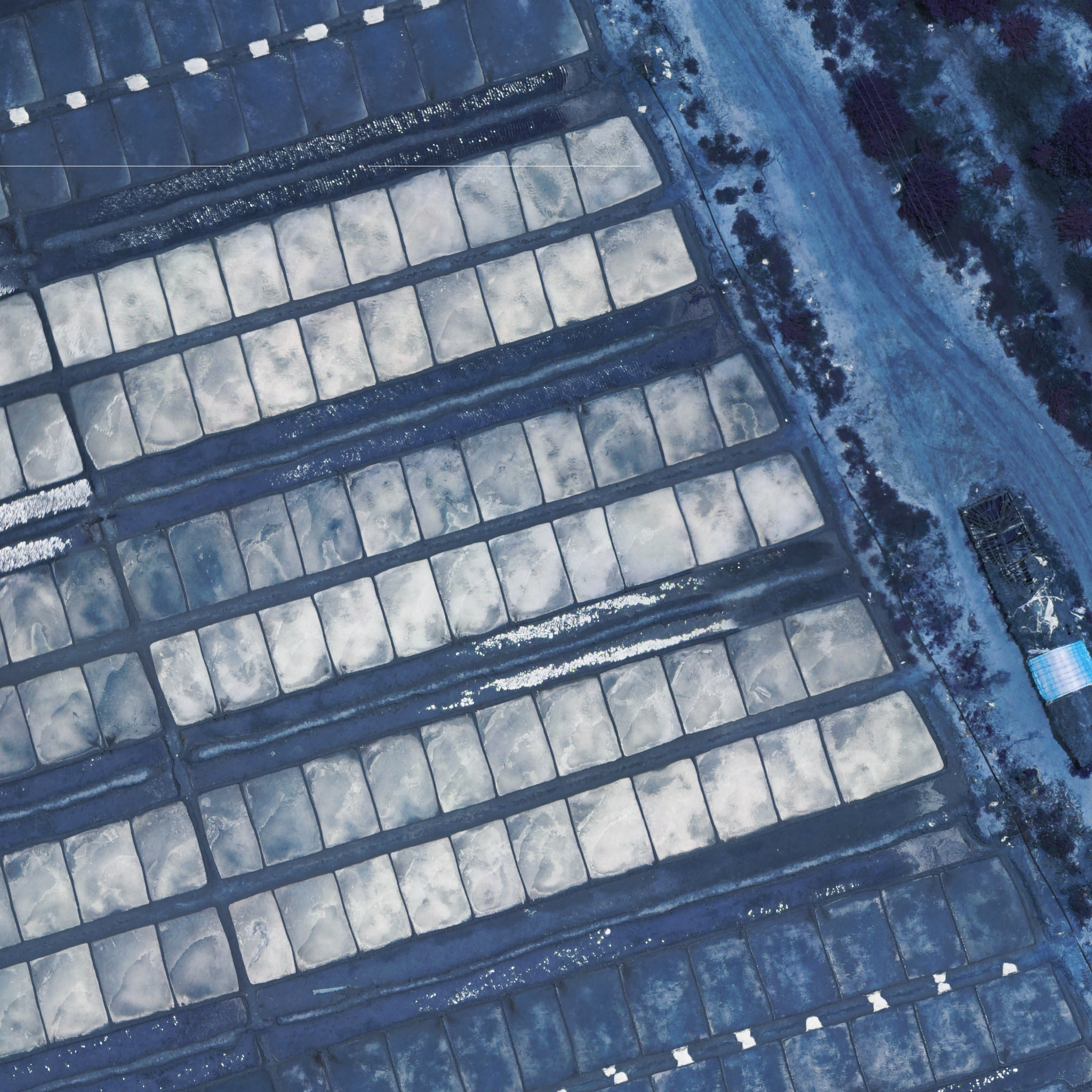
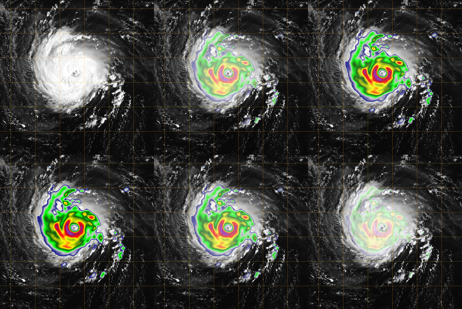
Our remote sensing service analyses a series of satellite images to provide data and information to a wide range of industries. We also support ground-based field surveys and map production with digital equipment such as drones, lidars, GPR, and so on, ensuring accurate and cost-effective data collection, which is critical input for mapping project planning and design. We have a team of experts in the remote sensing department to provide classification, image correction, image enhancement, image processing, and change detection services in any type of imaginary.
Our Area of Expertise

Data Acquisition and Mapping (Drone Mapping, Aerial/Mobile Lidar/GPR Survey, Geospatial Survey).

GIS Base Map Creation & Digitization of Maps.

GIS Study, Analysis & Modeling (Site Suitability Analysis, Flood Inundation Mapping & Modeling, Thematic layers extraction, Satellite/Aerial Image interpretation, Spatial Layer Creation… etc).

Satellite imagery interpretation and classification.

Geo Spatial Data Analytic
Geospatial analytics is the practice of analyzing data with a spatial dimension by collecting geospatial data, transforming it into multiple layers of spatial representations, and analyzing it to discover useful patterns for operational or strategic decisions.
We are supporting our client to get better results through our Geospatial Analytic platform. All you need to do is, import your location data, our platform will Analyze the location data to decision making information and visualize the data in real-time through interactive GIS dashboards for your better understanding. We are also customizing our platform to meet one to one customer requirements too.
Our Area of Expertise

Satellite Imagery analysis.

Territory Planning.

Utility Network Deployment.

Mobility Planning.

Route Optimization.

Pipeline Layout Optimizations.

Disaster Recovery.

Crime Pattern Analysis.

Urban Planning and Many More.

Tech Consulting
As a Geospatial Technology System Integrator, we work on transforming our clients complex business problems into real time solutions using Spatial Data Intelligence. We work with Government sectors and support them by analyzing their problem statements, provide advice on solving problems using GIS/Geospatial Tech and help them to implement solutions.
Our team has extensive geospatial knowledge, and helps our client to navigate on their unique challenges. We are also providing Cyber Security consulting for our Geospatial clients through our subsidiary venture Strava Cyber Labs Private Limited to secure the geospatial assets of them. Overall we are working with our clients on deriving end to end solutions for their problem statements to make them capable of meeting the 4th Industrial Revolution.
Our area of expertise

Project Study & GIS based Solution Implementation.

Purchasing the Technology Solutions & Hardware.

Integrate and Develop the Client of Client's GIS/Geospatial requirements

Modernizing the internal applications & softwares.

Implement GIS/Geospatial projects.

Cyber Security Policy Implementation.

Cyber Security Infrastructure Design & Management.

Geospatial Capacity Building.

Modernize the GIS Team.
Why Choose Strava Technologies® for GIS Application Development ?
Being a well-known Geospatial Application Development company in India, Strava Technologies® is recognized for delivering the best of Geospatial Solutions and Applications. Here are some of the reasons why we are the best choice for developing the Geospatial Application:
Dedicated Teams
We have a dedicated team of Geospatial Application developers who have extensive experience delivering high-end Geospatial solutions on a variety of frameworks and technologies.
Agile Methodology
We use Agile methodology and conduct frequent scrum events for optimizing the practices and methods and delivering the finest results.
Customer Satisfaction
We work on the latest frameworks and technologies to provide you user-friendly, scalable, secure geospatial solutions as per your need.
Integrity & Transparency
We value your ideas and vision, provide you with regular project updates, and consider your valuable advice when and as needed.
Engagement Models
Instead of working within unfavourable rigid and strict parameters, we provide our clients with the option of choosing from a variety of engagement models.
Competitive Pricing
We offer cost-effective rates with exceptional quality to make sure the lowest pricing in our segment.